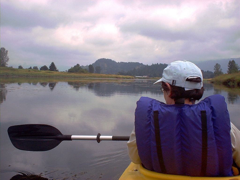
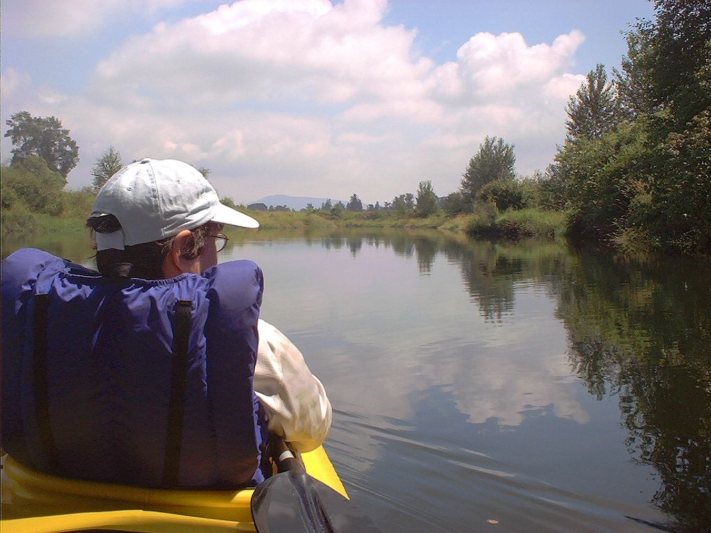
We've just left the beach by the Harris Road Bridge parking lot in Pitt Meadows.
Typical....
-->
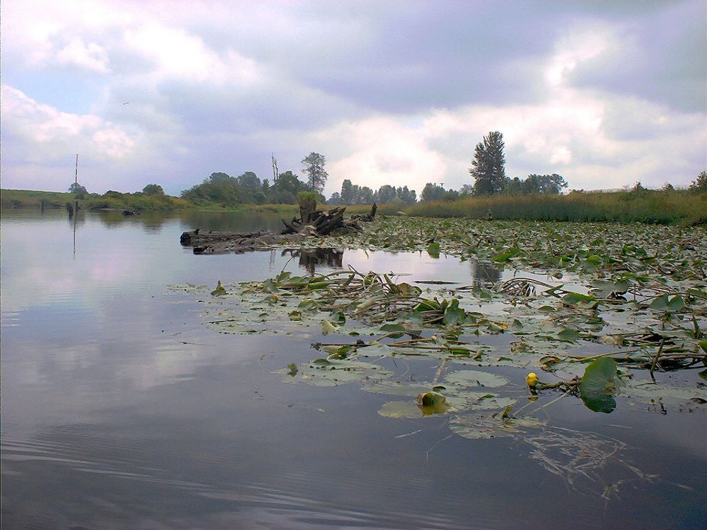
Occasionally we'd have to paddle through weedy patches.
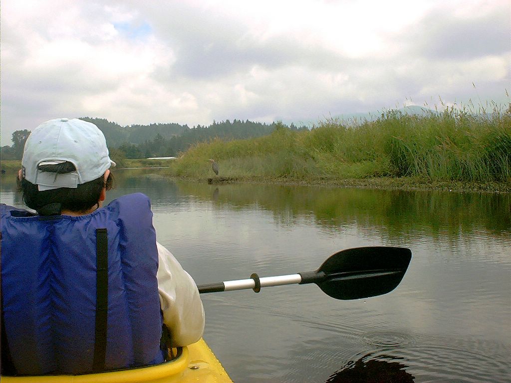
Heron ALERT!
It's difficult to get much closer to the heron without scaring them off. [I DO NEED A CAMERA WITH ZOOM}
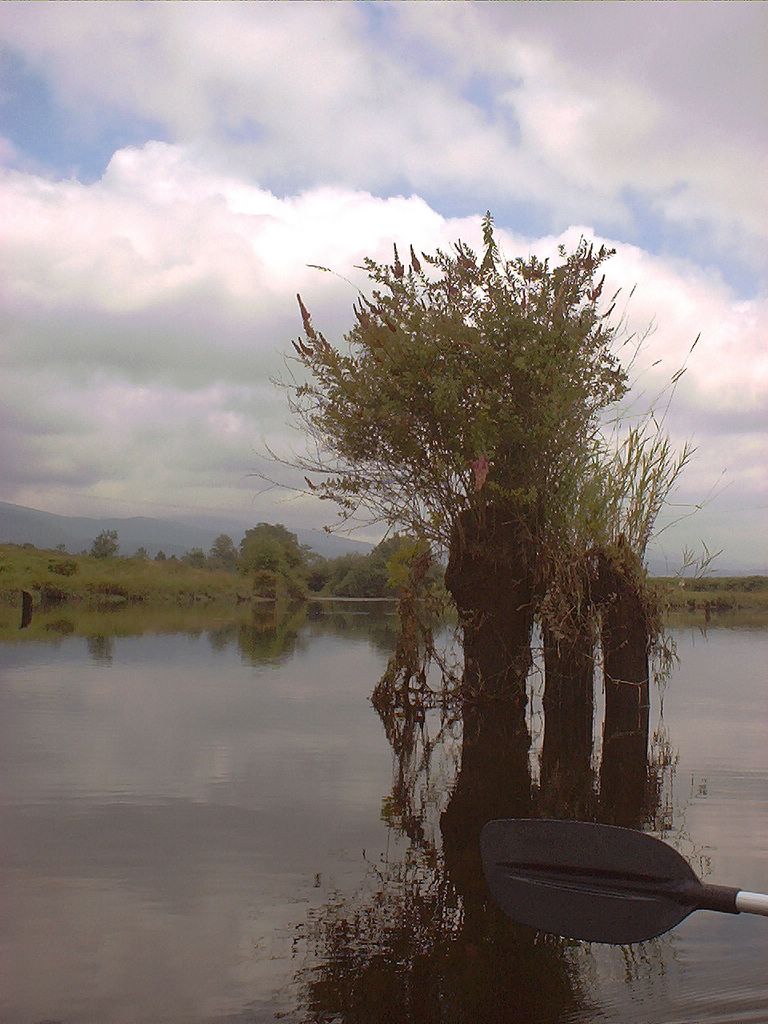
So, what, we wondered, were these pilings once used for?
Water liliies abound; especially around the location of the the many old pilings.
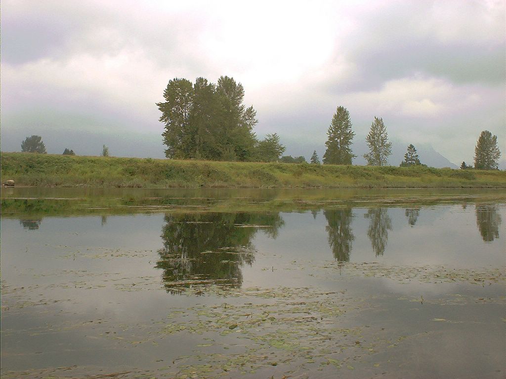
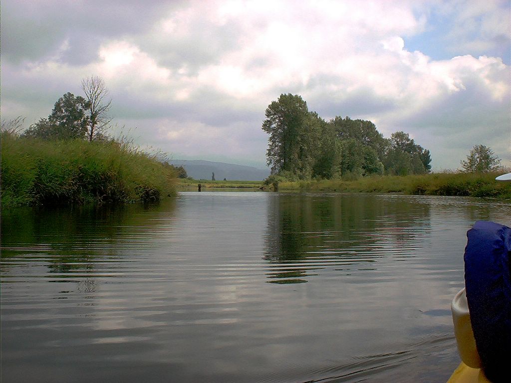
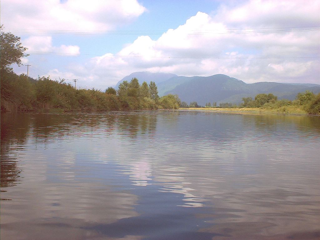
Typical scene.
-->
Occasionally there is visual evidence of agriculture. The aural evidence is constant, with the booming of air cannons intended to scare birds from the blueberry crops found all around this region.
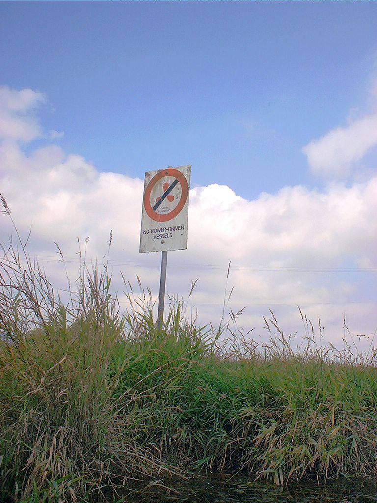
Throughout this paddle, the dike "road" - no motor vehicles - is ever present. The south shore features the Trans Canada Trail (TCT).
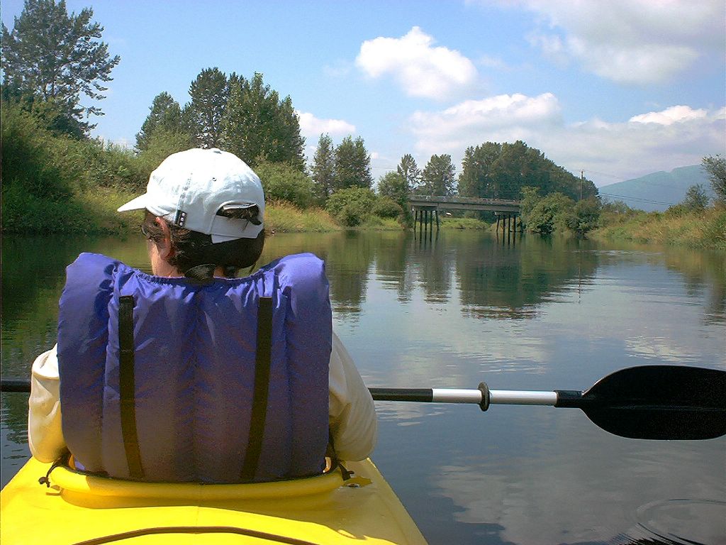
Approaching the Neaves Road Bridge from the west.
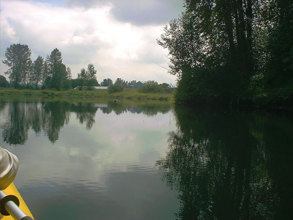
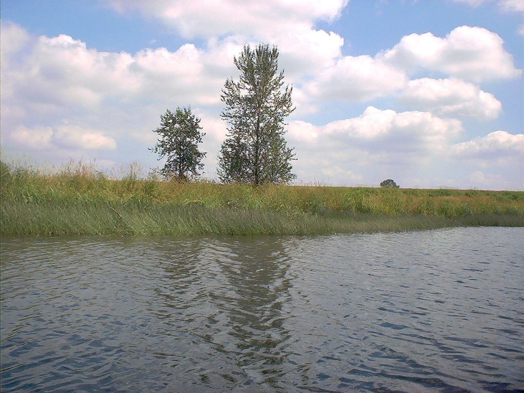
OK, without the mountains visible, this could almost be anywhere in northern Germany or the Netherlands.
Approaching the Neaves Road Bridge from the other - east - side.
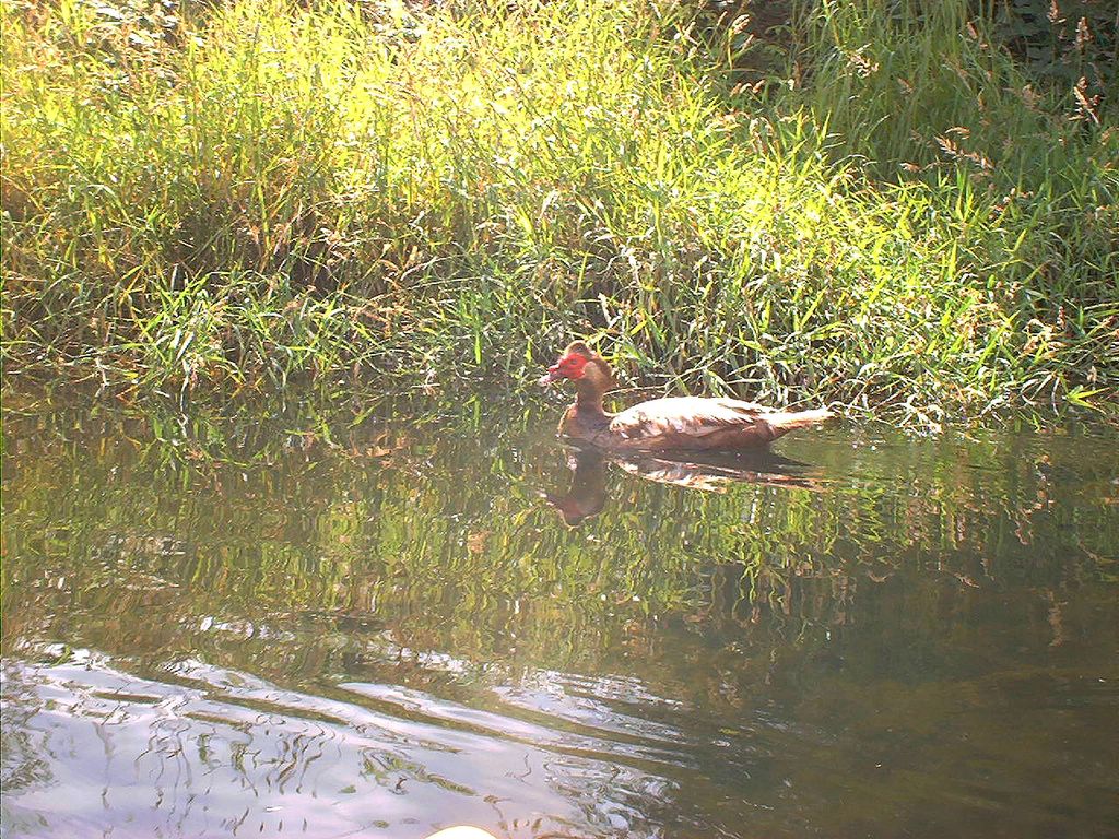
Hanne and I glide up on a strange looking water fowl inhabiting the area around the Neaves Road Bridge. What is it?
Can anyone identify this strange looking fowl? Duck? Goose? And, if so, what kind? Somehow, I'm betting it's domestic.
Just around the corner, to the right, is a slough we'll have to come back to explore another time.
At the "stumpy place", with its many old pilings, we take direction from authority and stow our prop... ;-)
Having passed the "stumpy place" as we called it -- a spot with many old, rotting pilings -- we are not far from our put-in at Harris Road.
Just before we return to the put-in at the Harris Road Bridge, the wind picked up a bit, causing a slight ripple on the water.
-->